LIBYA
Sahara Lakes & Remote Volcanoes
Duration
15 Days
AREA
Central Sahara
TERRAIN
ROUGH 4X4
LEVEL
***
PAX
MIN3 / MAX6
24°55′00″ N 17°46′00″ E
WAW AN NAMUS · CALDERA
SECTOR SAHARA-03
briefing
THE OBJECTIVE
Fifteen days off the marked routes. We move deep across the Sahara of Libya, far from any conventional itinerary, out to the most isolated volcanic craters on the continent.
Exploring the most unique desert lakes on the planet. A journey defined entirely by boundless terrain, absolute silence, and ever-changing landscapes, navigated by an expert expedition team. Designed for those who prefer to travel light and push the boundaries of exploration.
SAFETY & RISK OVERVIEW
Exploration of the Libyan desert takes place in a unique and evolving environment.
Although local conditions have enjoyed relative stability, Libya’s overall security landscape carries inherent risks and requires careful navigation. Our operations rely on comprehensive risk assessments, trusted local connections, and continuous monitoring of ground dynamics.
By adhering strictly to approved routes, local regulations, and the guidance of our local escort team, we minimize risks while delivering an authentic and unforgettable Saharan journey.
LOCATION
EXPEDITION DOSSIER
DOSSIER N° 03 — REMOTE
LIBYA: SAHARA LAKES & REMOTE VOLCANOES
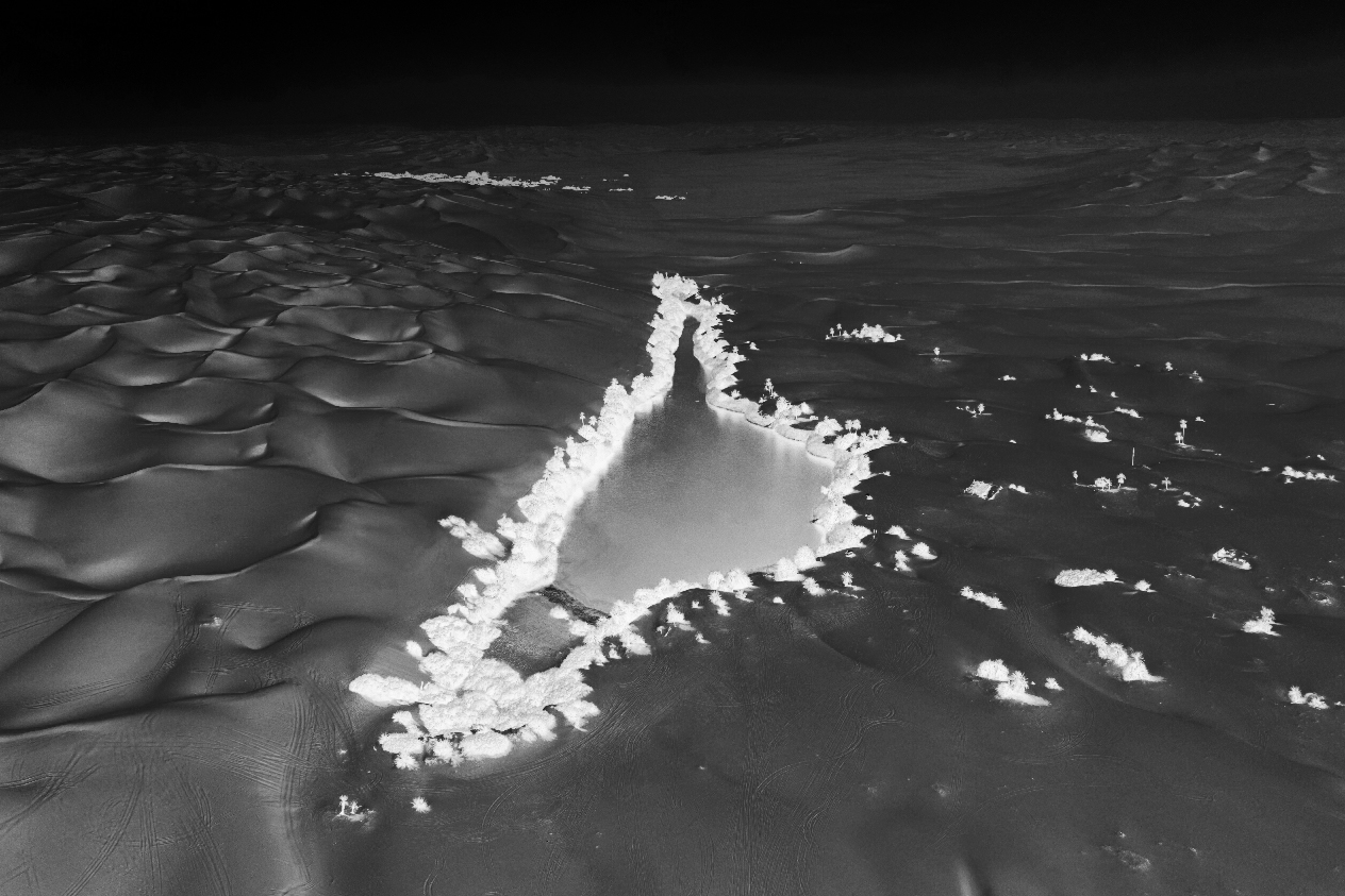
UBARI LAKES
26°48’20” N 13°32’23” E
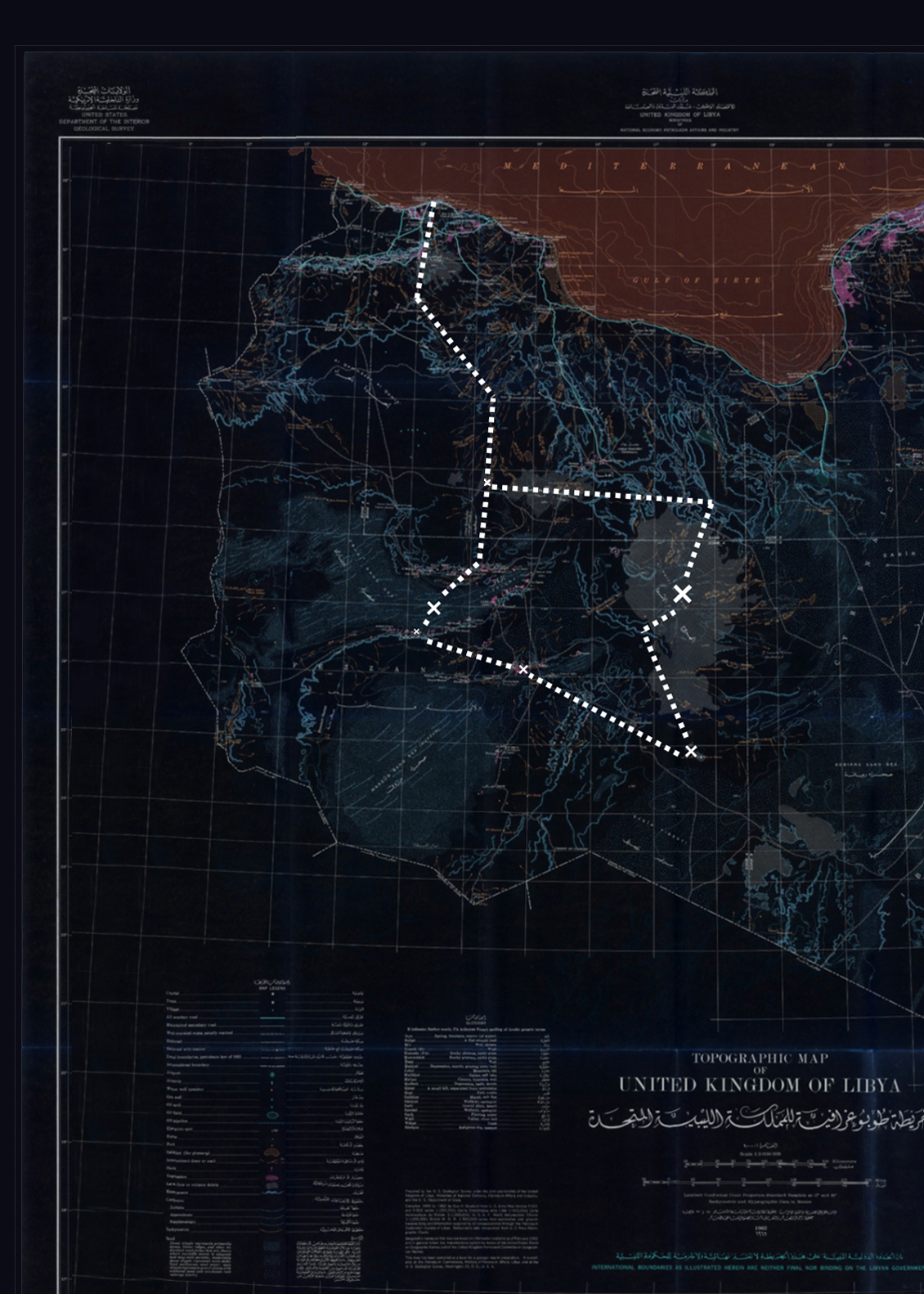
ITINERARY
SIX PHASES
/
Days 1-4
ARRIVAL – INGRESS
Arrival, logistics check, transition from the coastal capital Tripoli into Jabal al Gharbi, cross the first stretch of barren flat desert.
/
Days 5-8
REMOTE VOLCANOES – DEEP SAHARA
Enter Al Haruj, rough terrain. Explorative navigation, mobile camp, long days with no fixed reference points. Exit Al Haruj, drive to Waw an Namus. explore the crater.
/
Days 9-10
MURZUQ CROSSING
Exit Waw an Namus, cross the Murzuq Region.
/
Days 11-12
CAPITAL OF GARAMANTES – UBARI LAKES
Visit the ancient Garamantes capital, enter the Ubari sand dunes and visit its emblematic lakes.
/
Days 13-15
EXIT – DEPARTURE
Retrace the route out from the sand sea, last two bivouac, entering the capital. Departure.
LOCATION
EXPEDITION DOSSIER
DOSSIER N° 03 — REMOTE
LIBYA: SAHARA LAKES & REMOTE VOLCANOES
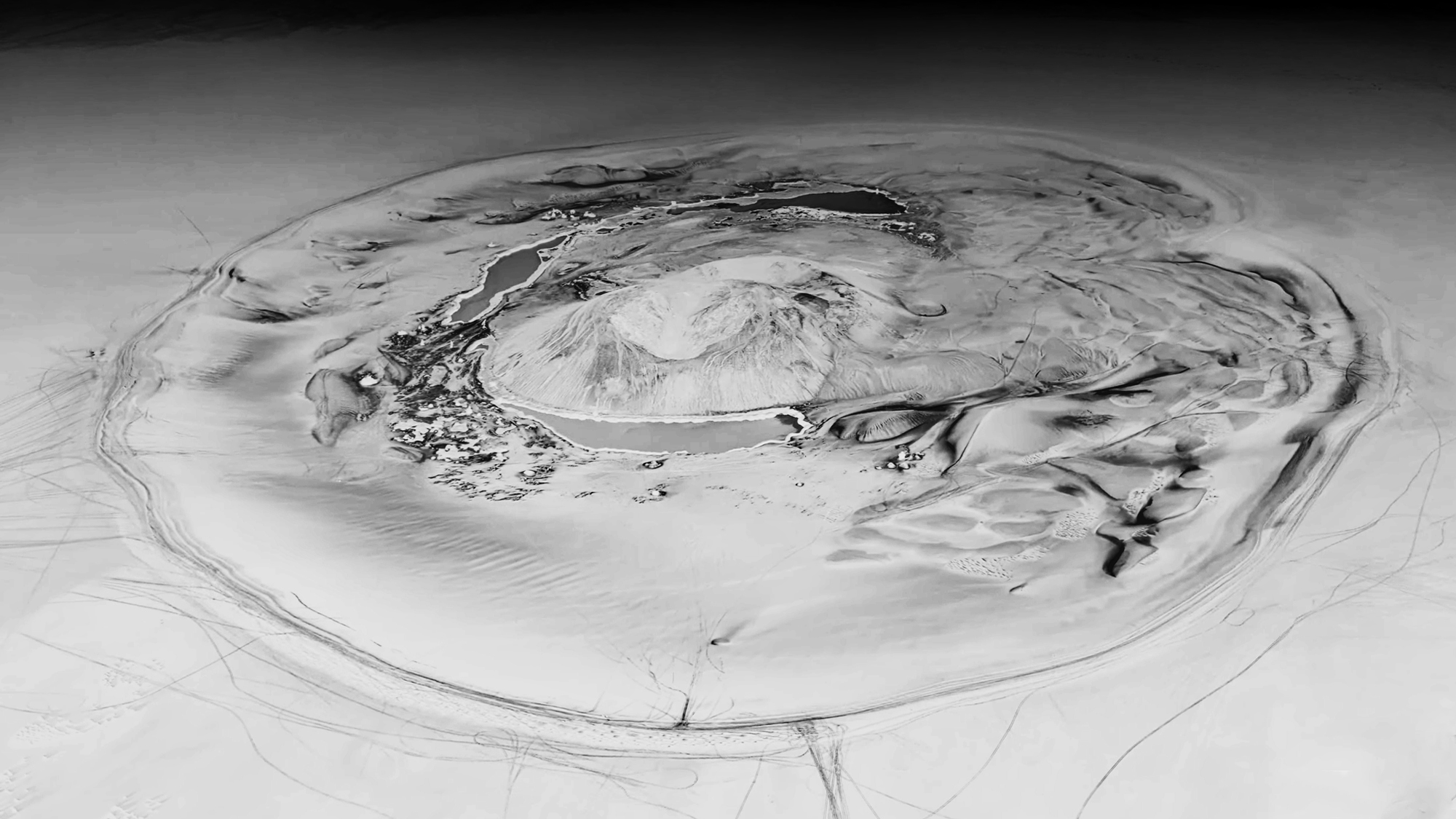
WAW AN NAMUS
24°55′00″ N 17°46′00″ E
LOGISTICS
FIELD SETUP
/A
VEHICLES
4x4s equipped for long-range crossings, full mechanical redundancy, back-up fuel tanks.
/B
GUIDES
Led by Giulio and the local team with extended, ground-level knowledge of the terrain and the region.
/C
COMMS
Satellite coverage, Satellite communicative safety protocols across the entire route.
/D
CAMP
Comfortable mobile bivouac, shower system, water and power self-sufficiency for the full crossing.
FLEXIBILITY
Traveling in Libya involves intricate and ever-changing logistical challenges. Consequently, our itinerary may be subject to drastic modifications and ongoing reassessment if required. A flexible mindset is essential for all participants. Unexpected changes to routes, timings, and stops can occur as an integral part of this expedition, and adaptability is key to a safe and successful journey.
LOCATION
EXPEDITION DOSSIER
DOSSIER N° 03 — REMOTE
LIBYA: SAHARA LAKES & REMOTE VOLCANOES
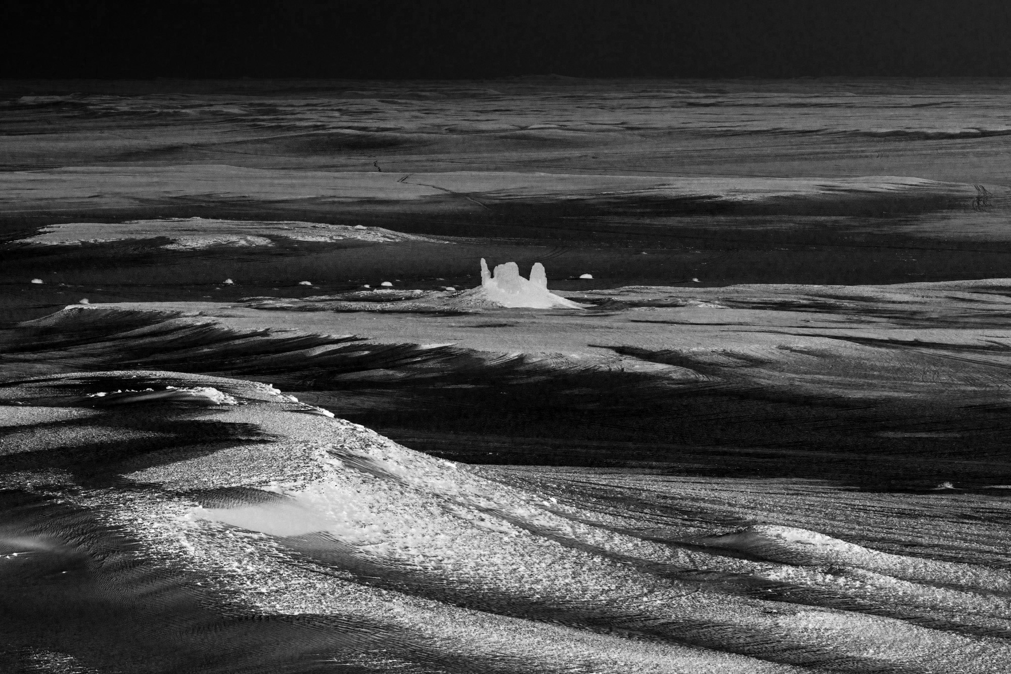
MURZUQ REGION
26°01′30″ N 13°22′50″ E
logistics
EXPEDITION INSIGHTS
/INCLUSIONS
▸ Airport welcoming and assistance
▸ Airport transfer upon arrival and departure
▸ Airport taxes and fees
▸ Hotel and accommodations
▸ 4×4 equipped vehicles in convoy and fuel
▸ Camping equip. (tent, sleeping bag, mattress and pillow)
▸ Military and regional permits and fees
▸ Tourism Police fees
▸ 3 meals x day and snacks
▸ Cook and cooking equipment
▸ Water and drinks for the whole expedition
▸ Archaeological sites entry fees
/EXCLUSIONS
▸ International flights
▸ Visa
▸ Health/Travel Insurance
▸ Personal Spendings
▸ Whatever not mentioned as included
Duration
15 DAYS/14 NIGHTS
PAX
MIN3/MAX6
€ PP
5,680 € (3/4 pax)
5,210 € (5+ pax)
$ PP
$6,500 (3/4 pax)
$6,050 (5+ pax)
TOPOGRAPHY
EXPEDITION DOSSIER
DOSSIER N° 03 — REMOTE
LIBYA: REMOTE VOLCANOES & FULL SAHARA
itinerary
LIBYA: SAHARA LAKES & REMOTE VOLCANOES
HIGHLIGHTS
HIGHLIGHTS
DOSSIER N° 03 — REMOTE
LIBYA: SAHARA LAKES & REMOTE VOLCANOES
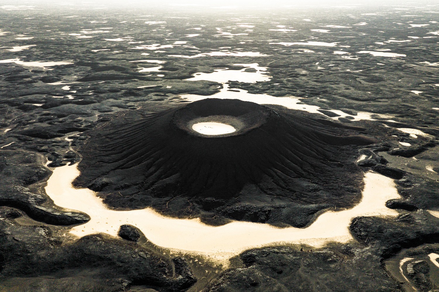
AL HARUJ VOLCANIC FIELD
N 27.125417° E 17.547833°
/VOLCANOES
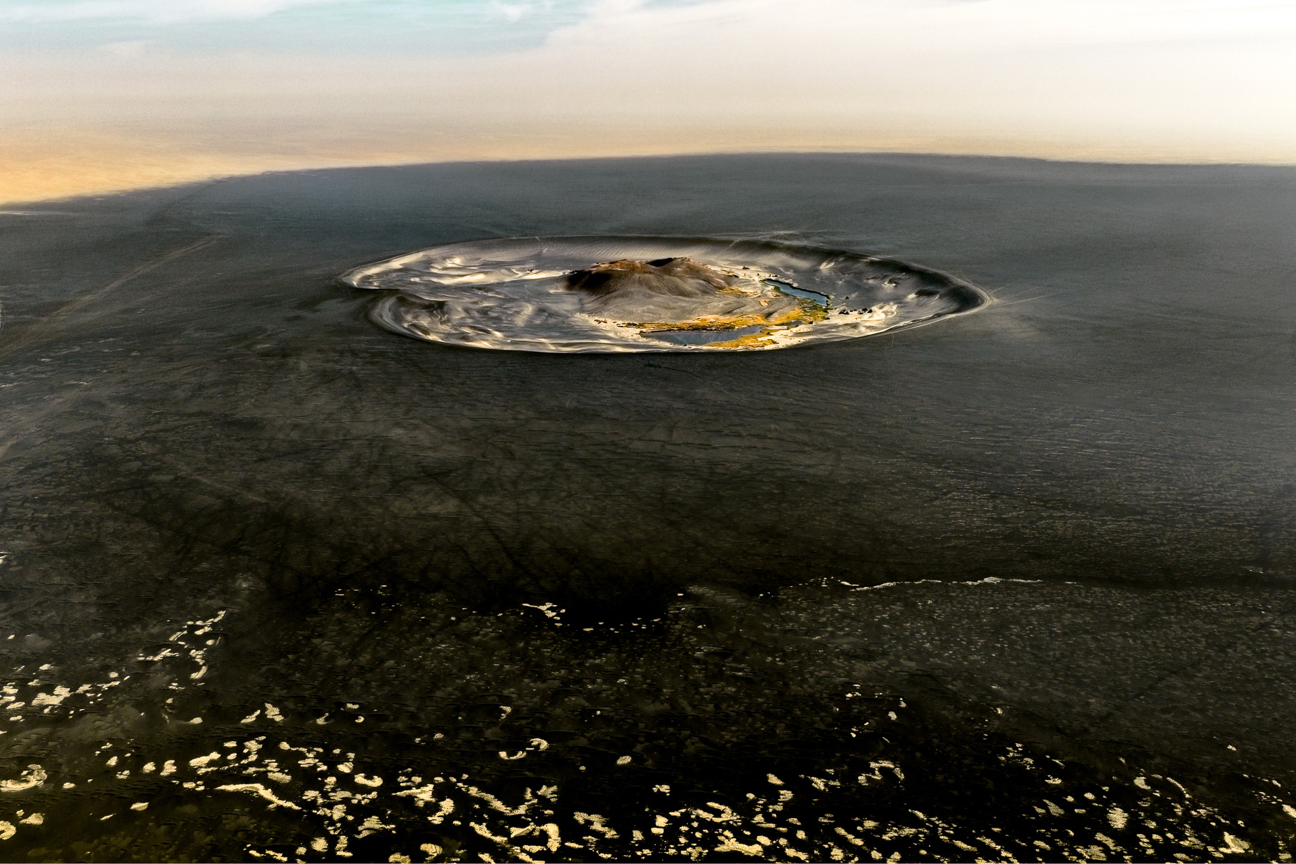
Deep within the hyper-arid expanses of the Libyan Sahara lie two of the planet’s most surreal and isolated geological marvels: the Al Haruj volcanic field and the Waw an Namus caldera. Al Haruj is a vast basaltic plateau stretching across thousands of square kilometers, characterized by hundreds of dark volcanic cones, black lava flows, and stark craters that create a forbidding yet mesmerizing lunar landscape. Not far from this volcanic expanse lies Waw an Namus, known as the “Oasis of Mosquitoes,” which is an isolated volcanic crater situated right in the middle of the desert. Inside this caldera lies a striking contrast of colors featuring a shimmering, dark obsidian sand field surrounding three small, mineral-rich lakes alongside lush patches of palm trees that thrive in absolute isolation.
DOSSIER N° 03 — REMOTE
LIBYA: SAHARA LAKES & REMOTE VOLCANOES
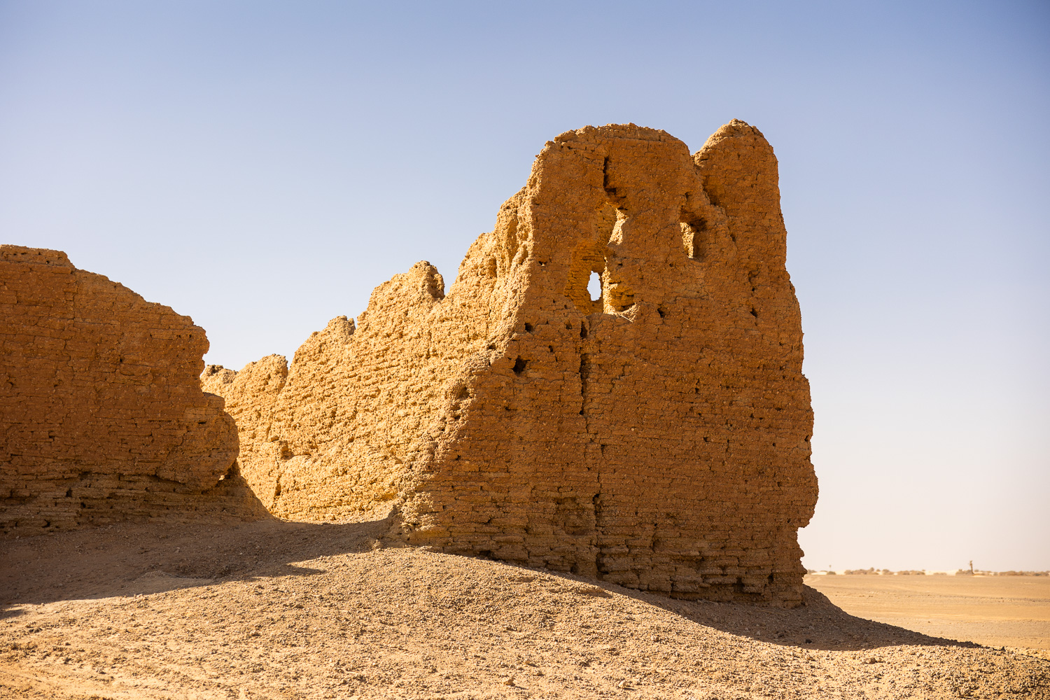
DESERT CASTLES
25°52’17″N 13°57’58″E
/CASTLES
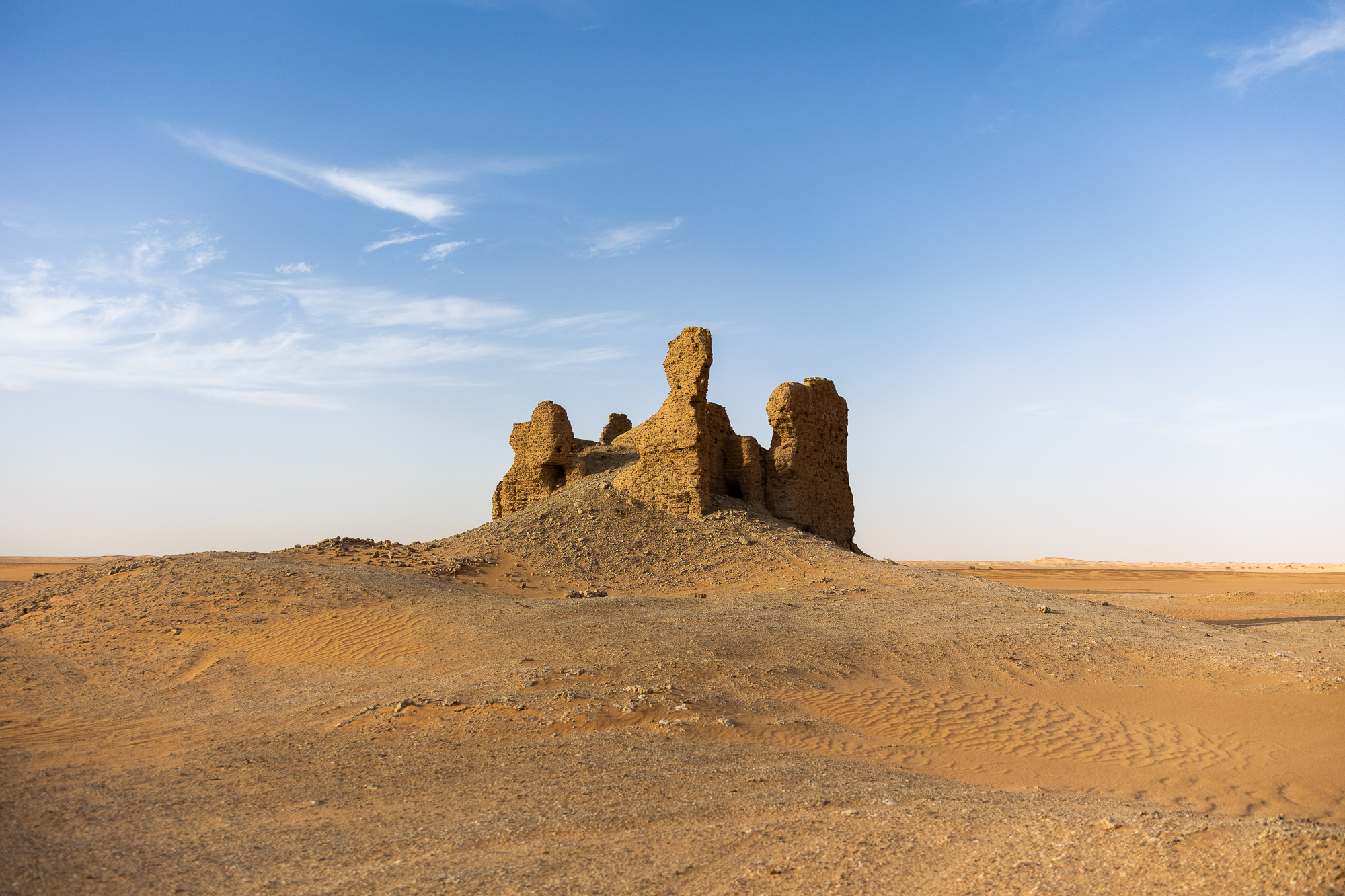
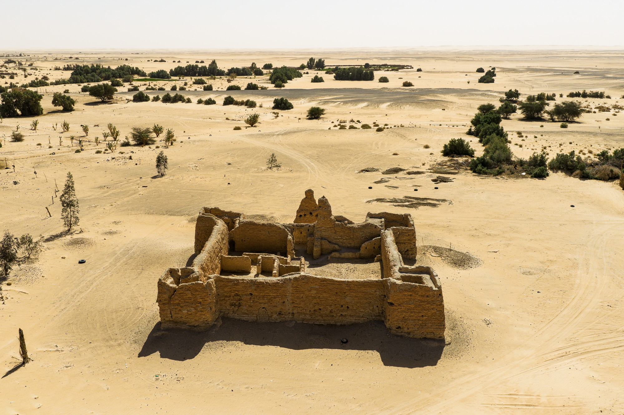
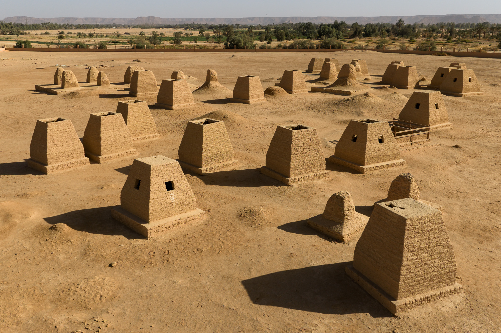
Visible across the arid Libyan landscape of the Fezzan region, the striking above-ground ruins and mudbrick castles (qsur) of the ancient Garamantes stand as enduring testaments to a sophisticated lost civilization. These monumental structures, built from sun-dried bricks and stone, once served as fortified settlements, watchtowers, and administrative centers for a powerful desert empire that flourished for over a millennium. Today, these visible architectural landmarks emerge dramatically from the sand dunes and rocky plains, offering a tangible glimpse into the ingenuity of a society that successfully dominated the harsh Saharan environment.
DOSSIER N° 03 — REMOTE
LIBYA: SAHARA LAKES & REMOTE VOLCANOES
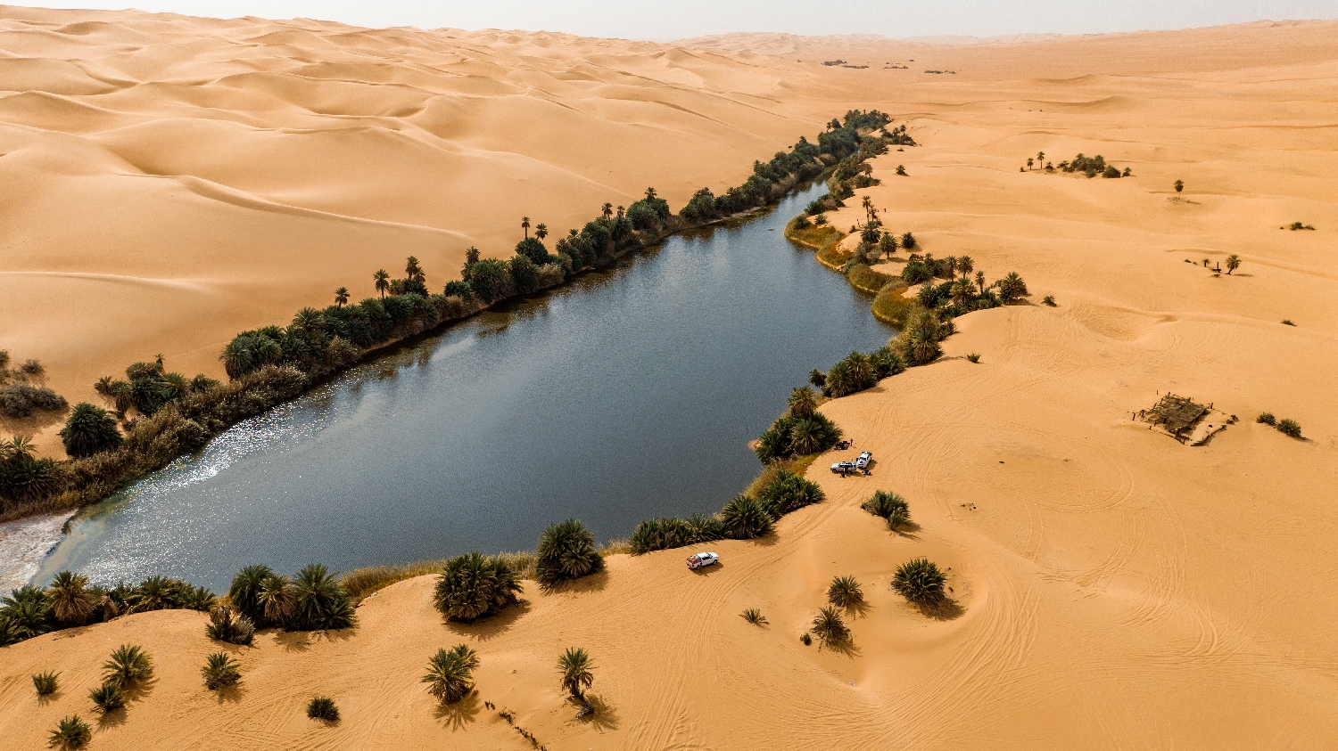
ubari laeks
26°48’20” N 13°32’23” E
/LAKES
Hidden amidst the towering, rust-colored sand dunes of the Idehan Ubari sand sea in southwestern Libya, the Ubari Lakes, which include famous basins such as Gabron and Umm al-Ma, form a breathtaking chain of desert oases. Surrounded by towering dunes and date palms, these hyper-saline lakes shimmer like turquoise jewels against the harsh yellow and red desert backdrop. Historically, these palm-fringed waters sustained nomadic Berber communities and served as vital stops along ancient trans-Saharan caravan routes. Today, despite their extreme high salt content, which allows visitors to float effortlessly, the water remains remarkably cool and life-sustaining, contrasting sharply with the scorching surrounding desert temperatures.
GALLERY
EXPEDITION DOSSIER








PHOTOGRAPHER ID
CLASSIFIED